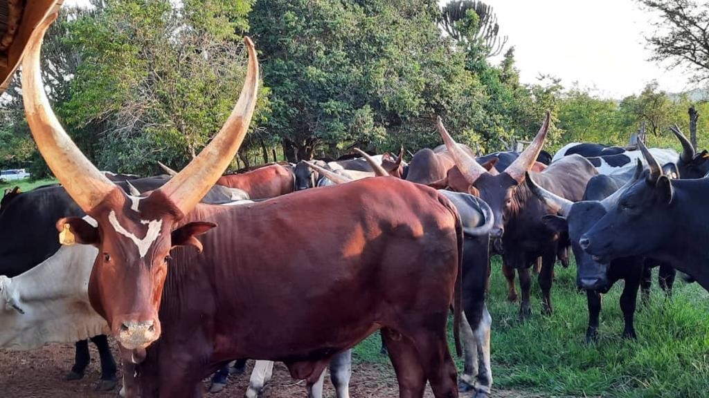
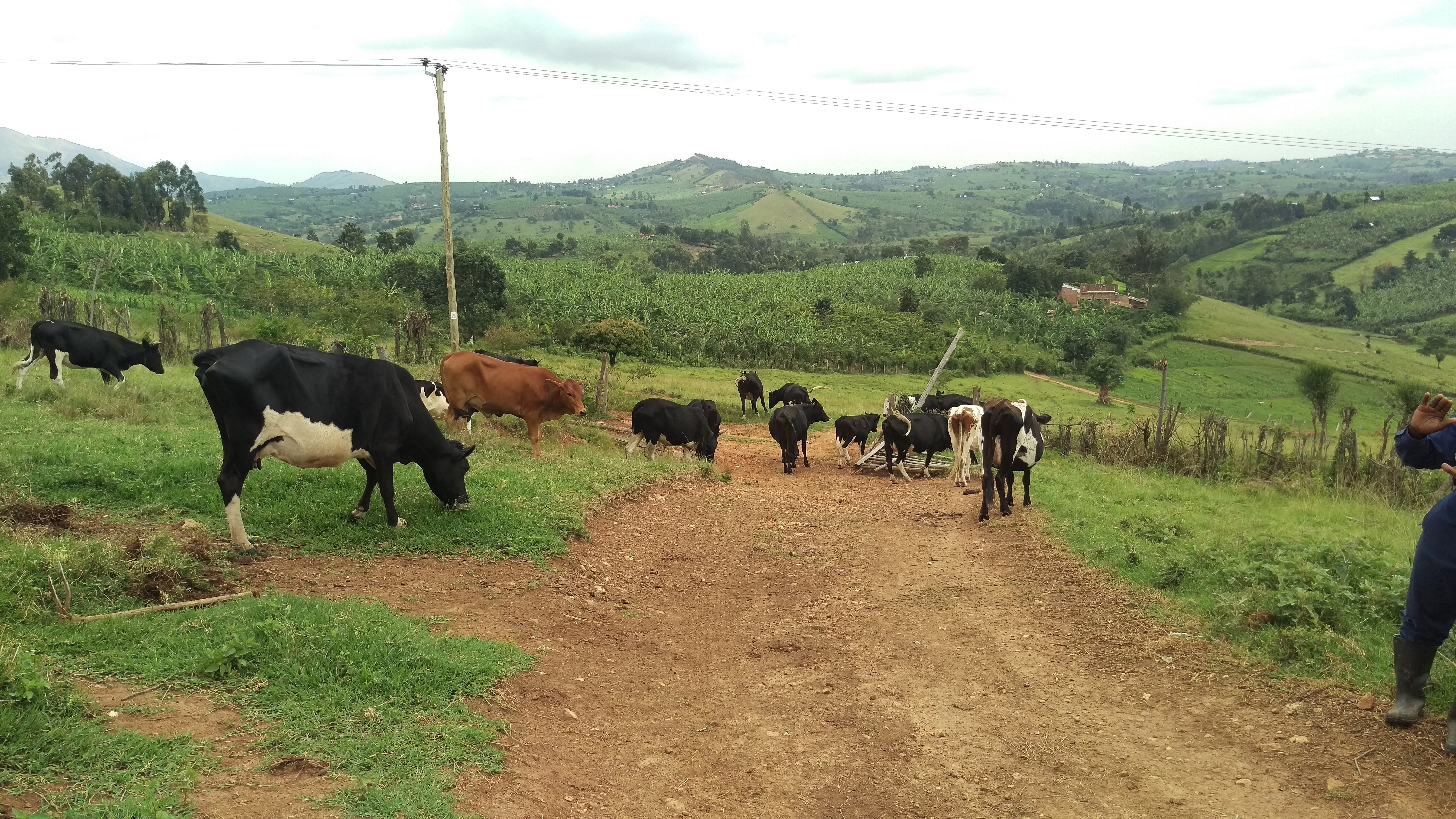
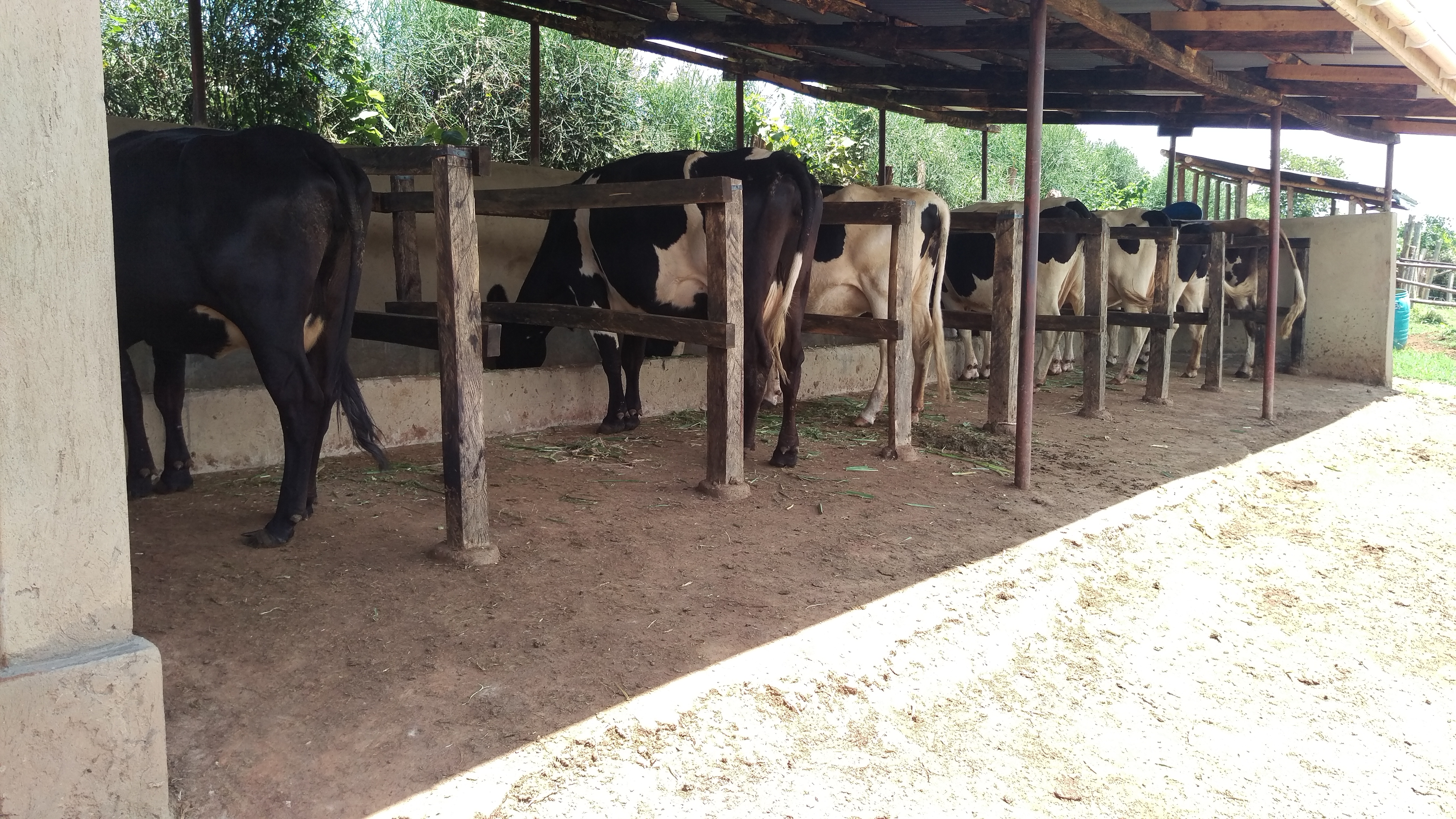
Searching about Methane emmissions in Uganda?
Welcome to the SIRGE project Information Access Tool
Below is a simple discription of what the tool is about

Searching about Methane emmissions in Uganda?
Below is a simple discription of what the tool is about
Get access to different data analysis and data tables, possible forecasts, emmission factors among other useful information in the livestock sector.
Interested?
get started
View our interactive maps including high resolution imagery with methane heat map overlays and land use sattelite maps for a more visualised data analysis.
Interested?
get access